Aktove Canyon, Aktove
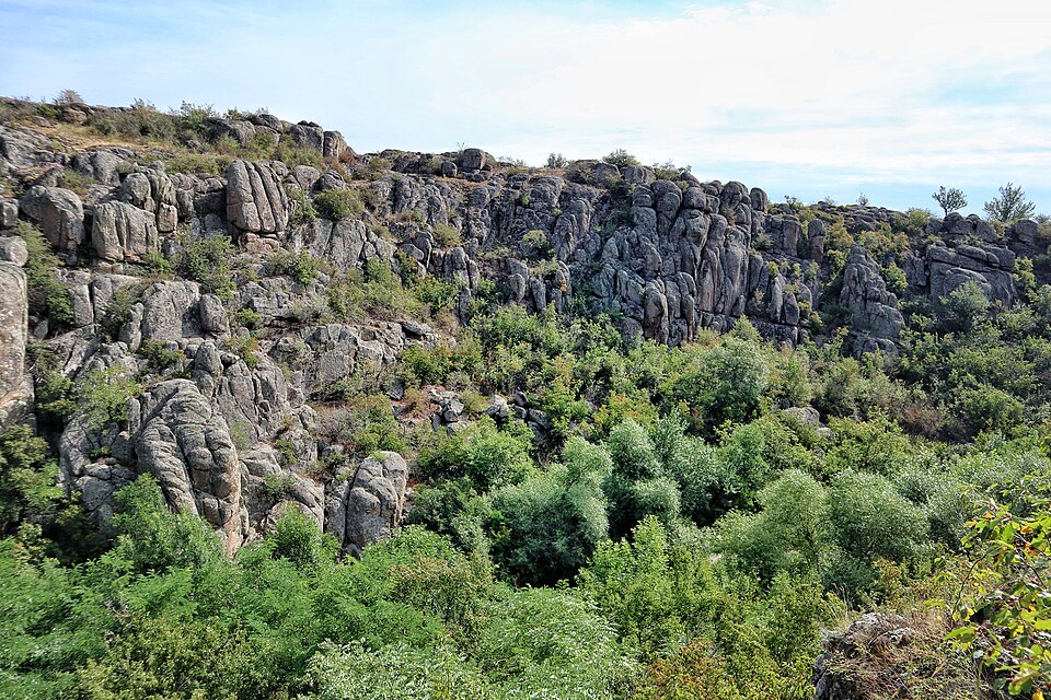

A granite valley of the Mertvovod, 40–50 m deep, in the Buzkyi Hard park.
The rocky valley of the Mertvovod river is the central one of three canyons: upstream is the Petropavlivka canyon, downstream the Arbuzynka canyon. It is 40–50 m deep and covers more than 250 hectares; the granites cut through by the Mertvovod and the Arbuzynka are about two billion years old. 30 plant species from the Red Book of Ukraine grow here. The canyon lies within the Buzkyi Hard national park and the Granite-Steppe Pobuzhzhia regional landscape park; nearby are the Trykraty forest and the "Navel of the Earth" rock. In 2025 Suspilne listed the canyon among the sections of the park open for recreation — on condition of taking shelter during air alerts.
From the Kyiv — Mykolaiv highway via Trykraty by dirt road; from Mykolaiv — by bus to Voznesensk (about 1.5 hours), then by taxi or local transport for 20–30 minutes (Telegraf, 04.05.2025). The Voznesensk area is also attacked by drones: on 27.09.2026 two houses were damaged in the Prybuzhanivka community (LB.ua, 27.09.2026), so during an alert look for a shelter. Do not leave the well-trodden paths.