Atlantyda Cave, Zavallia
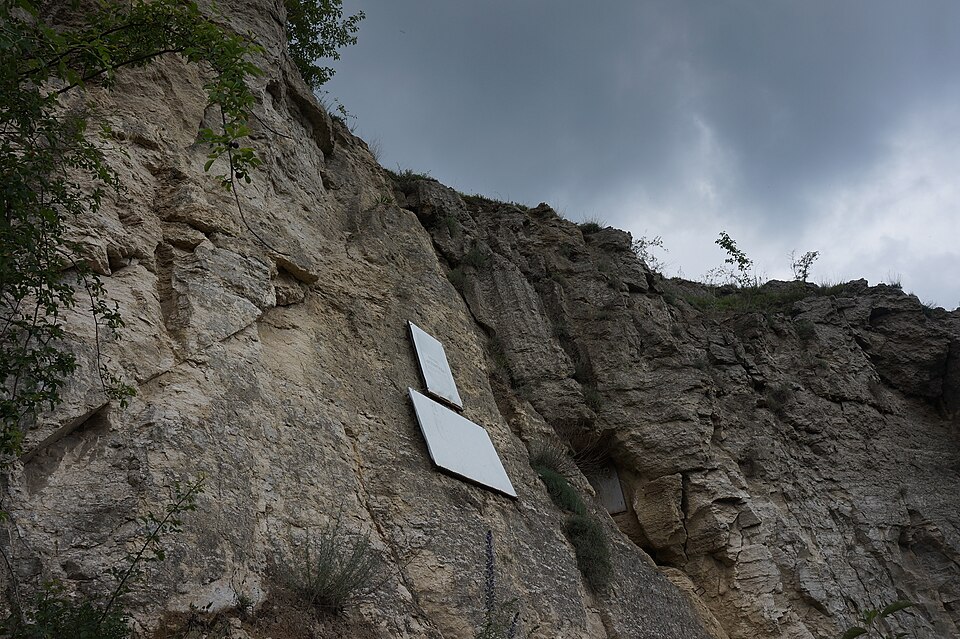

A gypsum karst cave on the left bank of the Zbruch with gypsum crystals up to 1.5 m; a geological nature monument, descent only with caving club instructors by appointment.
The karst cave in a gypsum layer near Zavallia, on the left bank of the Zbruch, was discovered in the summer of 1969. Cavities were found in a gypsum quarry that operated on the valley slope in the 1950s; in 1968 they were explored by young cavers from Kyiv, and in the summer of 1969 excavations led into a chamber from which a large system of passages began. By order No. 780-r of 14 October 1975 the cave was declared a geological nature monument of national significance with an area of 10.0 ha; today it is part of the Podilski Tovtry National Nature Park. Atlantyda is described as the only cave in Podillia with a clearly defined three-tier structure; fibrous gypsum crystals up to 1.5 m long occur in it. Sources give the length of the passages differently — from 1,800 m (Podilski Tovtry National Nature Park) to 2,525 m (tourclub.com.ua).
The cave entrance is about 1 km from the village of Zavallia, Kamianets-Podilskyi district (Telegraf, 15.08.2025); the base of the Khmelnytskyi caving club “Atlantyda”, with a hostel, is ~500 m west of the entrance (OSM). The entrance is locked; descents only with the club's instructors after compulsory advance booking on the club's website; in August 2025 descents were held at 11:00 and 15:00 (Telegraf, 15.08.2025). The cave is unlit and in places you have to crawl; a change of clothes and torches are needed, and taking crystals away is forbidden (travels.in.ua, updated 29.03.2025). Tel. +380 67 999 2777, +380 96 355 1255 (travels.in.ua; OSM). No dated prices were found.