DniproHES, Zaporizhzhia
.jpg)
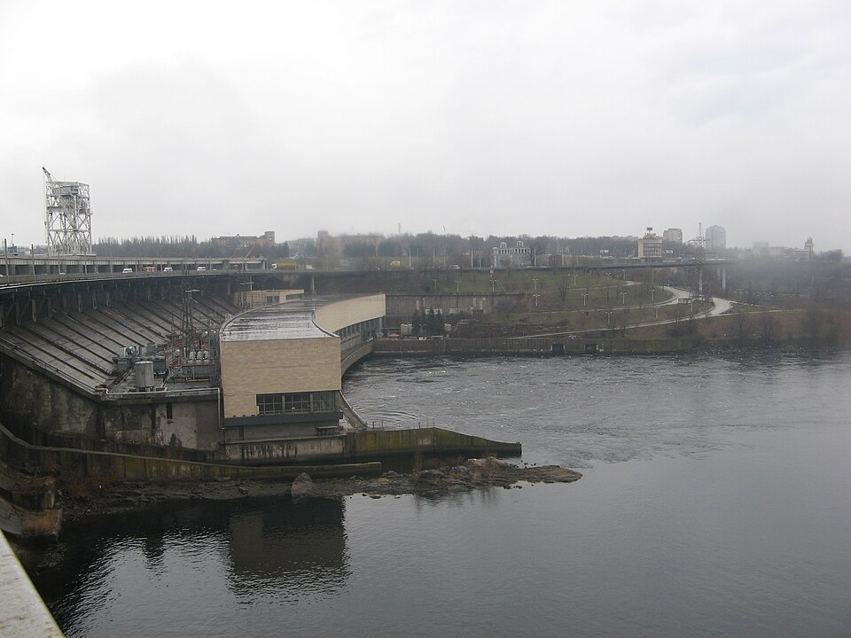
A dam of 1932 some 760 metres long — blown up twice in the Second World War, hit by missiles in 2024.
In March 1927 the government approved construction, and on 15 March a flag reading “Dniprobud has begun!” was raised on the site of the future dam. The station was designed by the engineer Ivan Aleksandrov; the dam is 760.5 metres long and over 60 metres high, and the first unit delivered industrial power on 1 May 1932. The station was blown up twice in the Second World War — by Soviet troops in 1941 and by German troops in 1943; rebuilding began in 1944 and the ninth unit was started in 1950. DniproHES-2 was built from 1969, and the two stations' combined capacity is 1,538 megawatts. On 22 March 2024 russian missiles struck the station twice, hitting HES-1 and HES-2; the HES-2 turbine hall needs complete rebuilding, and the station has suffered over forty attacks in three years.
1 Vinter Street. A restricted site — view from outside, from the embankment. Crossing the dam is limited by bridge repairs until the end of 2026 and closed during alerts.