Hubkiv Castle
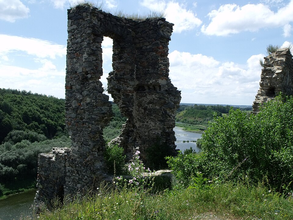

A castle site above the Sluch: ramparts, the remains of a tower and a view over the river canyon.
The castle stands on Castle Hill about 30 m above the Sluch, on the site of a Rus hillfort of the 10th–13th centuries. Under the Semashkos the fortress had the shape of a trapezoid with four corner towers, a gate and a drawbridge. In 1596 it was taken by the Cossacks of Hryhorii Loboda, in 1704 it was damaged by russian troops, and in 1708 the Swedes destroyed it almost to the ground. Today the ramparts are left, a filled-in well, the remains of the eastern tower and fragments of the palace; the look of the ruins before their final decay was recorded by Napoleon Orda. The year in the entry is the first written mention, because the sources give no year of construction.
The climb up the hill is steep and has no steps or handrails; the area is part of the Nadsluchanskyi landscape park.