Kalamita Fortress and Cave Monastery, Inkerman
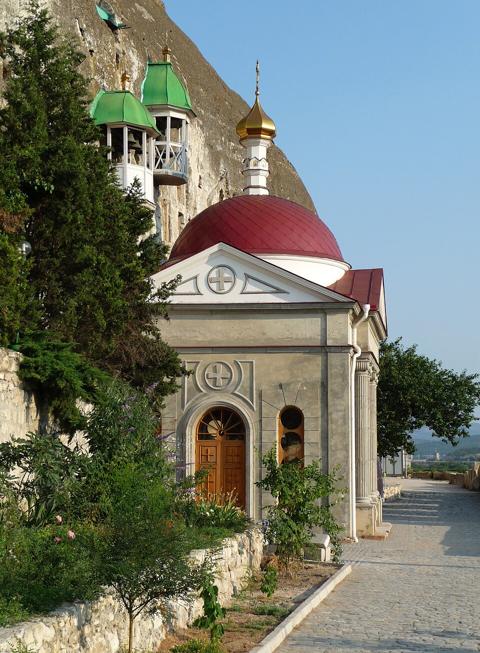

A 1427 fortress of the Principality of Theodoro above the mouth of the Chorna River, with cave churches below; the Turks named it Inkerman, “cave fortress”.
The Byzantines already had a fortification on the rock above the mouth of the Chorna River guarding the approaches to Chersonesus (outdoorukraine.com). In 1427 Prince Alexios of Mangup, ruler of the Principality of Theodoro, rebuilt it on the site of a ruined medieval fortress: a wall 8 metres high and 2 metres thick enclosed 1.5–2 hectares (outdoorukraine.com). Before May 1475 the Ottomans took the fortress and named it Inkerman, “cave fortress” (outdoorukraine.com). In the rock below, icon-venerating monks fleeing Byzantium probably lived from the 8th century; the present monastery was founded in 1850 and was closed in 1931–1991 (en.wikipedia; amusingplanet). The Kalamita fortress and cave monastery are a monument of national significance of Ukraine; the occupation authorities have de facto assigned them to the Sevastopol port, and the monastery belongs to the Moscow Patriarchate (en.wikipedia).
Occupied territory — no access.