Kamiani Mohyly Reserve, Nazarivka
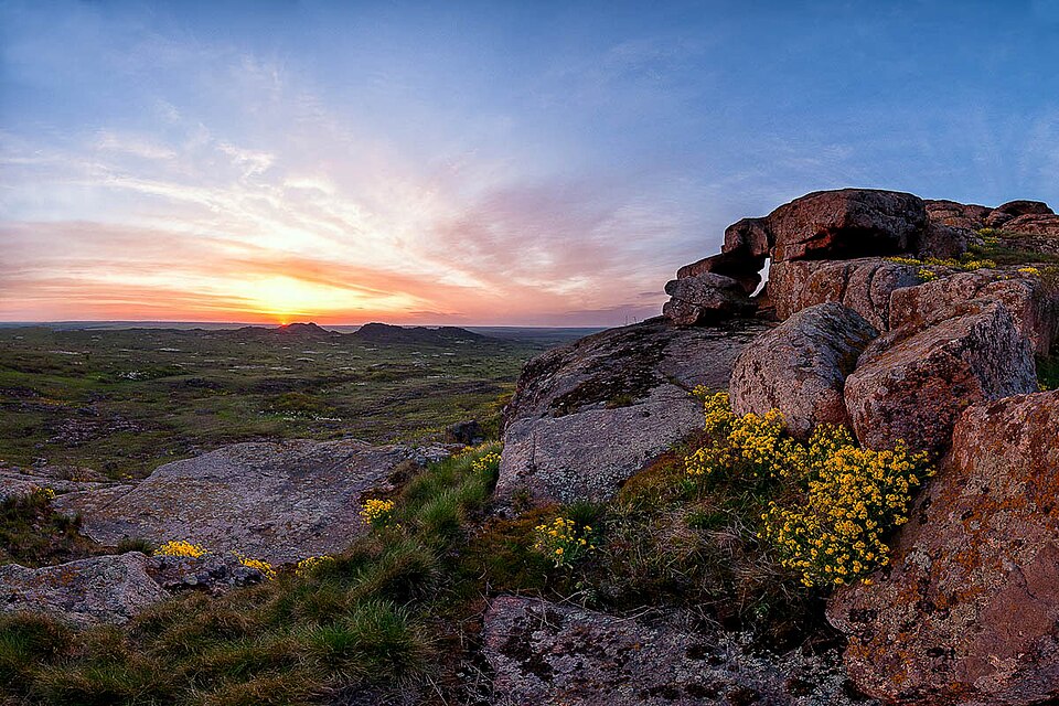

A granite massif above the Karatysh, protected since 1927; under occupation since 2022.
A granite massif on the right bank of the Karatysh, on the border of Donetsk and Zaporizhzhia regions, is a protected area of 389.2 hectares (Encyclopedia of Modern Ukraine). It is made of pink porphyritic biotite granites of the Ukrainian Shield; about 500 species of vascular plants grow here, among them endemics — the Beshtau tulip and the hairless yarrow (encyclopedia). Protection was introduced in 1927 — on 5 April, according to Suspilne — and since 1961 it has been a branch of the Ukrainian Steppe Nature Reserve. Since 2022 the area has been under occupation: in August 2024 the Mariupol city council reported that russian troops had set up a military base on the reserve’s territory (Suspilne, 20.08.2024); the current state of the massif is unknown.
Impossible to reach while the occupation lasts. Not to be confused with the archaeological Kamiana Mohyla near Melitopol.