Kodak Fortress, Stari Kodaky
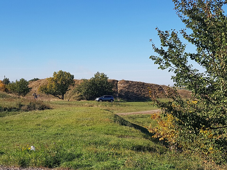

A fortress of 1635 against the Sich, taken by the Cossacks. The ramparts remain.
The fortress by the Kodak Rapid was conceived by the Crown Hetman Stanisław Koniecpolski: in 1635, by decision of the Sejm of the Polish-Lithuanian Commonwealth, it was built to blockade the Zaporozhian lands, to a design by the Frenchman Guillaume Le Vasseur de Beauplan. In August of the same year Ivan Sulyma's Cossacks took it by storm and destroyed it; in 1639 a new fortress, almost three times larger, was completed nearby under the direction of the engineer Friedrich Getkant. On 1 October 1648, after a siege by Cossack regiments, the Polish garrison capitulated. The fortifications were demolished under the terms of the Treaty of the Pruth of 1711 (according to S. Plokhy and A. Kovalov, in 1709, on the orders of the voivode Yakovlev). In 1910, on the initiative of Dmytro Yavornytsky, the zemstvo placed a memorial sign on the remains of a bastion. The granite quarry opened in 1939 (according to Kamenskoe.city, extraction began here in 1940) had destroyed almost all the remains of the fort by 1994; the ramparts of the bastions and the memorial sign remain.
What remains of the fortress are the northern earthen ramparts and an obelisk of 1910, above a flooded quarry with sheer drops — keep away from the edge (Kamianske.City, 28.05.2026). From Dnipro, take bus No. 109 from Vokzalna Square, then walk another 800 m from the last stop (Suspilne Dnipro, 22.07.2025). A frontline region: on 28.09.2026 a russian strike on the centre of neighbouring Dnipro killed three people (LB.ua, 28.09.2026), so the alarm means shelter.