Sevastopol
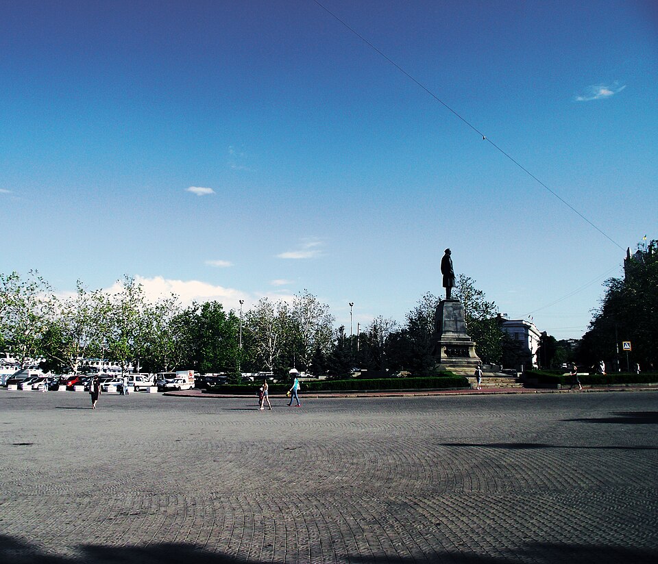
_01.JPG)
A port city above the ruins of ancient Chersonesus.
By Potemkin's order of 24 January 1783 the Crimean vessels were moved to Akhtiar Bay under the protection of new fortifications; at the behest of Catherine II the fortress was named Sevastopol. Nearby lies Chersonesus Taurica, founded, according to UNESCO, by Dorian Greeks in the 5th century BC and inscribed on the World Heritage List in 2013. In the centre are the Count's Quay with its colonnade of 1846 and St Volodymyr's Cathedral (1854–1888) with the graves of Admirals Lazarev, Kornilov, Istomin and Nakhimov. Under Ukrainian law, the occupation of Crimea began on 20 February 2014; on 19 March the headquarters of the Ukrainian Navy was taken by storm. At Chersonesus the occupiers built the “New Chersonesus” complex (consecrated on 28 July 2024), and in 2026 UNESCO placed the site on the List of World Heritage in Danger. On 10 June 2026 the building of the “Defence of Sevastopol” panorama burned for almost 30 hours; according to “Krym.Realii”, the fire almost completely destroyed the Soviet copy of Franz Roubaud's canvas.
Temporarily occupied since 2014.
Chronicle
- 20 February 2014 — The official start date of the temporary occupation of Crimea under Ukrainian law.
- 23 February 2014 — At a rally in Sevastopol, Oleksii Chalyi was proclaimed “people's mayor”.
- 2 March 2014 — The Ukrainian Navy headquarters had its power cut by russian troops; they also surrounded the Navy's 39th training detachment and seized the anti-aircraft missile battalion at Cape Fiolent.
- 19 March 2014 — The Ukrainian Navy headquarters was seized; its commander, Serhii Haiduk, was taken prisoner.