Siverskodonetsk
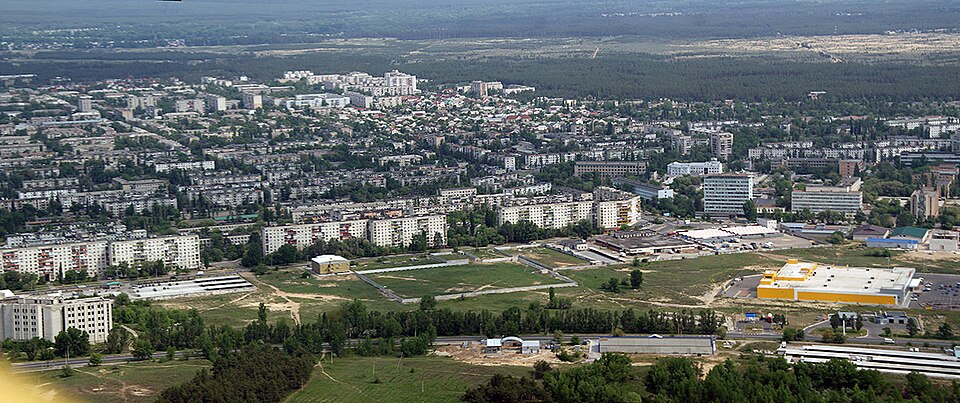

A city of chemists and the temporary regional centre of Luhansk region in 2014–2022; since 2024, Siverskodonetsk.
Siverskodonetsk (until 2024, Sievierodonetsk) grew up beside a nitrogen works: in 1934 a decision was taken on the plant and the settlement of Lyskhimbud. In 1950 the settlement was named Sievierodonetsk, and in 1958 it became a town, planned as a “new sunny city” with straight streets, schools and parks. On 22 July 2014 Ukrainian forces liberated it from “LNR” formations, and regional institutions were moved here from occupied Luhansk. On 30 May 2022 Serhii Haidai reported that russian troops had entered the outskirts; in June about 500 people were sheltering in the bomb shelters of the Azot plant. On 9 June russian shelling burned down the Ice Palace of Sports of 1975, and the Chemists' Palace of Culture was also damaged. On 24 June 2022 Ukrainian forces withdrew from the city on orders, and on 25 June it was occupied; according to Haidai, about 90% of the buildings were damaged.
Temporarily occupied since 2022.
Chronicle
- 6 April 2014 — Pro-russian men attacked participants of the pro-Ukrainian flash mob “Ukraine in the Heart” and burned a Ukrainian flag.
- 1 May 2014 — Pro-russian people took down the Ukrainian flag from the city council building.
- 22 July 2014 — The city was liberated by Ukrainian troops.
- 2014–2022 — The temporary regional centre of Luhansk region: the regional military-civil administration was formed here, and the university, theatre, court and prosecutor's office were moved here from Luhansk.
- Late May 2022 — The city was entered by russian troops — street fighting began and lasted about a month.
- June 2022 — The defence of the Azot plant, in whose cellars hundreds of civilians were sheltering.
- 24 June 2022 — On orders, Ukrainian units withdrew from the city across the Siverskyi Donets.
- 25 June 2022 — The city was occupied by russian troops.