Intercession Church-Fortress, Sutkivtsi
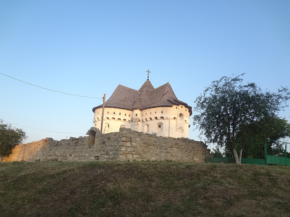

A 14th-century stronghold that became the Intercession Church in 1476.
In 1407 Prince Vytautas granted Yarmolyntsi with the surrounding villages, Sutkivtsi among them, to Khotko Kroat, a native of Hungary; later the village was owned by the Sutkivsky family. According to the website of the Khmelnytskyi Regional Council, a fortification already stood here in the 14th century, and in 1476, as an inscription on one of the bells testifies, the Sutkivskys rebuilt the fortress into a church; castles.com.ua gives the year 1467. The plan of the church is an equal-armed cross, the walls are 1.5–1.6 metres thick, there are loopholes on both tiers, and the vault rests on a central pillar; in the 16th century the first tier was painted with frescoes. In 1894 the gables were dismantled, and in 1903, according to castles.com.ua, the church received a dome in the pseudo-russian style. In 2007–2009 it was restored to a design by Olha Plamenytska, with the battle parapet and its machicolations reconstructed. In 2019 the community decided to move to the OCU; after court cases, on 15 May 2024 the church was handed over to the state, and on 31 July 2024 the first OCU service was held here.
The village lies off the highways — plan the drive from Yarmolyntsi or Kamianets; from the road to Kamianets-Podilskyi it is a detour of about 12 km (Obozrevatel, 04.08.2025). You cannot always get inside the church-fortress: there is no regular access for tourists yet (Obozrevatel, 04.08.2025).