Lake Synevyr
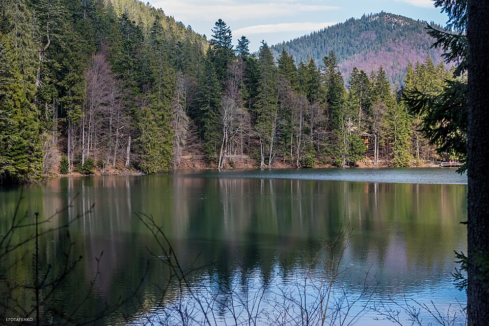

The largest mountain lake of the Carpathians, 989 metres above sea level, in the heart of the national park of the same name.
Synevyr formed 10–11 thousand years ago, when a powerful landslide from the northern slope of Mount Krasna dammed a stream. The mirror lies at 989 m; the area varies from 4.45 to 7.58 ha depending on the water level, the depth reaches 23.5 m, and at a depth of 17.5 m the water is only 2.6 °C even in summer. The folk name "Sea Eye" is about the lake itself: the islet in the middle resembles a pupil. It is the heart of the Synevyr national park, created in 1989 on 42,704 ha between the summits of Strymba (1719 m) and Nehrovets (1707 m); the lake is one of the "Seven Natural Wonders of Ukraine" and a wetland of the Ramsar Convention. Above the water stands the 13-metre wooden composition "Syn and Vyr" (1983–1984), and since 2011 a rehabilitation centre for brown bears taken from circuses has worked in the park. Legend has it: the lake is the tears of the count's daughter Syn for the shepherd Vyr.
Entry to the Synevyr National Nature Park — 100 UAH, for schoolchildren and students — 50 UAH; tickets can be bought online (Informator, 08.07.2026). Swimming in the lake is forbidden (Telegraf, 30.04.2025).