Tustan, Urych
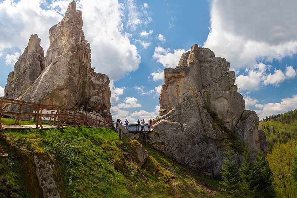

A cliff-side fortress of the 9th–13th centuries: the timber walls were fixed straight onto the rocks.
Tustan is mentioned in Jan Dlugosz's chronicle under 1340, and the oldest document is a bull of Boniface IX of 15 May 1390; the fortress itself lived through five building periods from the 9th to the 13th century as a customs post on the salt road. The timber rested directly on the rocks, and over 4000 cut grooves and notches remain of it: from these Mykhailo Rozhko, who surveyed the rocks from 1971 and led excavations in 1978–1991, reconstructed a structure of up to five storeys, up to 25 m high, with defensive walls of 13–15 m. Four rock groups — Kamin, Ostryi Kamin, Mala Skelia and Zholob; the main one rises 87 m above the valley. The reserve was created in 1994; in 2025 an interactive "hrydnytsia" hall opened in the museum in Urych, and at the start of August every year the festival "Tu Stan!" is held here. Folk etymology derives the name from "tut stan" — "stand here".
Ticket 200 UAH, concession 100 — from 1 May 2026 (DrogMedia, 27.04.2026); in winter 9:30–17:00, in summer 10:00–18:00 (reserve website, checked 01.10.2026). The road is asphalted and there is parking; on the rocks, footwear with grip.