Embankment, Ukrainka
.jpg)
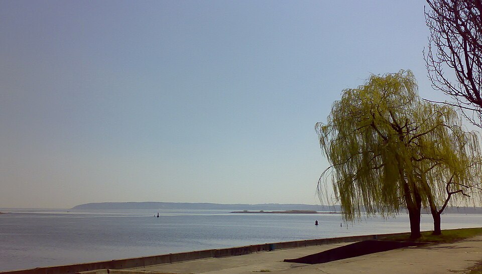
The town's main embankment on the Dnipro, 3 km north of Divych Hill.
Ukrainka grew in the 1960s and 70s as the town of the Trypillia power plant workers and received town status in 1979. Its embankment sits on the same Dnipro terrace that rises three kilometres to the south as Divych Hill above Trypillia: one shoreline, best walked as a pair. There is a central beach here, a promenade along the water and a view over the Dnipro islands.
The Dnipro bank by Dniprovskyi Avenue, free access around the clock. On 30.09.2026 russia struck the Trypillia thermal power plant in the town itself and damaged its generating equipment (FAKTY, 30.09.2026), so check the security situation before the trip. Pairs with Divych Hill and the Trypillia museum in a single trip.