Castle Hill, Kyiv
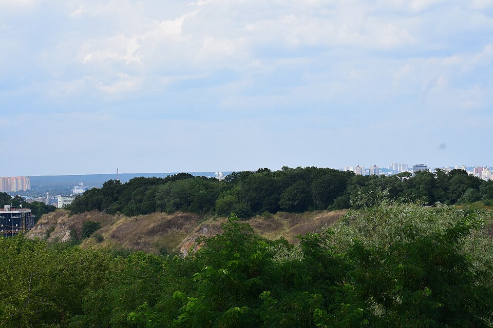

The hill above Podil where the castle stood. Today an overgrown rise with an old cemetery.
Castle Hill, also known as Khorevytsia, Kyselivka and Florivska Hill, lies between Starokyivska Hill, Shchekavytsia, Honchari-Kozhumiaky and Podil. Archaeologists have found traces of a Trypillia settlement here and a hillfort of the 6th–13th centuries. The wooden castle was built by the appanage prince of Kyiv Volodymyr Olherdovych (ruled 1362–1394); in 1482 it was burned by the troops of the Crimean khan Mengli Giray, and in 1651 by rebel Cossacks. From 1816 the hill held a cemetery for the residents of Podil, later handed over to the Florivsky Monastery: according to the city guide, it was closed in 1918; according to “Zvid pamiatok Kyieva”, it was liquidated together with its church in 1935. In 1972 the hill was declared an archaeological reserve, and on 22 February 2018 the Kyiv City Council granted it the status of a park. In June 2025 the head of the “Ancient Kyiv” reserve, Roman Malenkov, said that it was overgrown with bushes and had not a single bench or viewing platform.
The entrances are from the Florivsky Monastery side and from Andriivskyi Descent, where metal stairs lead up the hill from the Gogol monument (DIAZ, 08.12.2025). On 30.09.2026 russia launched a massive missile and drone attack on Kyiv, and people were killed (Suspilne Kyiv, 30.09.2026), so during an alert go to a shelter.