Castle Hill, Kremenets
.jpg)
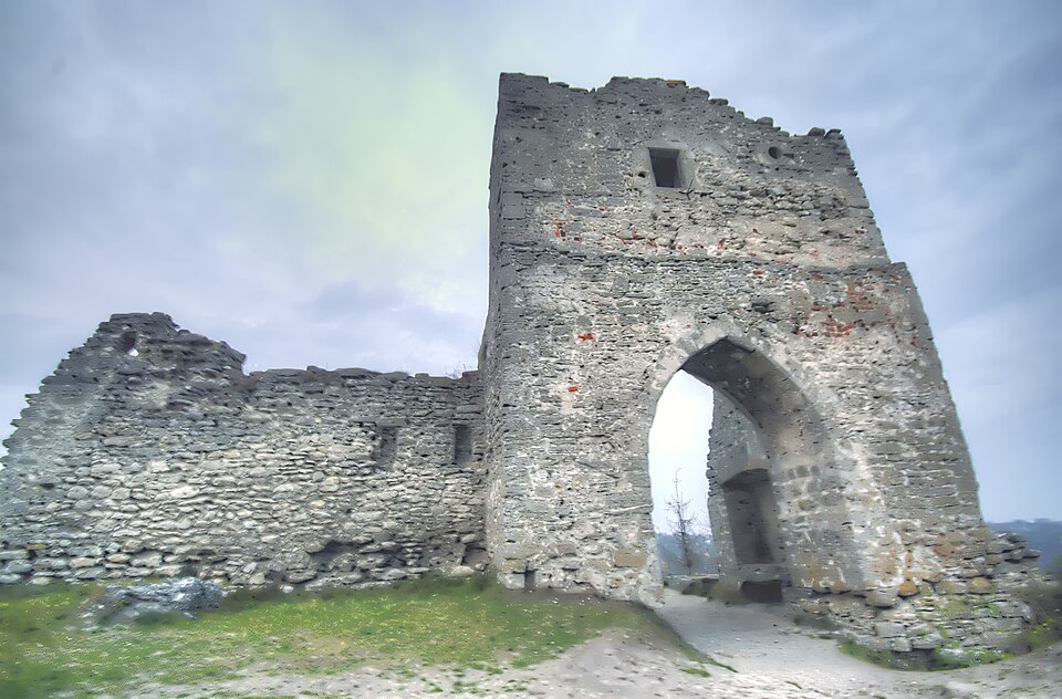
Ruins of the castle on Bona hill — the stronghold that withstood Batu.
Kremenets is first mentioned in 1226, when the Hungarian king Andrew II stood beneath it without success; in 1240–1241 the castle was not taken by Batu, in 1255 not by Kuremsa, and in 1261 the fortifications had to be destroyed on Burundai's demand. The stone walls grew between 1366 and 1382: the castle is 65 m wide and 135 m long, the walls 2.3 m thick; the gate tower with its Gothic passage, the Nobles' Tower and the "Kuria Nizhka" (Hen's Leg) tower survive. In 1536 Sigismund I gave it to his wife Bona Sforza, who owned the castle for twenty years and left her name to the hill. In 1648 the castle was taken by the Cossacks with the help of the townsmen of Kremenets, and since then the hill, 397 m high, has stood a ruin with the widest view in Volhynia; since 2001 it has been part of the Kremenets-Pochaiv reserve. Legend has it: Bona wanted to join Castle hill and Chernecha hill with a bridge of ox hides — the bridge broke, and the queen was saved by her full skirts.
The climb is steep, slippery in rain; no storm shelter on top.