The Trakhtemyriv Reserve
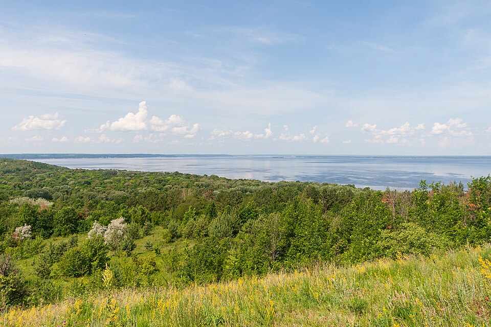

The peninsula a king gave to the Cossacks: a monastery with the Zaporozhian Host’s hospital, hillforts and flooded villages.
The reserve was created by a Cabinet of Ministers resolution of 1 July 1994, no. 446; according to Ukrinform it covers about 4,500 hectares and holds 81 monuments on its books. People lived here long before the Cossacks: "Velyki Valky" is a Scythian hillfort of the 7th–6th centuries BC, and to the south, in the Rus town of Zarub, stood the Monastery of the Most Pure (later the Zarub Dormition Monastery) — Radio Liberty dates its founding to the early 11th century, while Ukrinform writes that it was active from the 12th. Trakhtemyriv became Cossack under Stephen Báthory: Radio Liberty dates the privilege granting a winter residence and hospital to 1576, Ukrinform dates the handover of the town to the registered Cossacks to 1578; in September 1578 the "Resolution with the Lowlanders" made it the administrative centre of the registered Cossacks. At the monastery they kept a hospital for wounded and elderly Zaporozhians; Beauplan in his "Description of Ukraine" wrote of this place as a Cossack residence, and Yurii, the son of Bohdan Khmelnytsky, took monastic vows here. In the 1960s the villages of the peninsula were resettled for the Kaniv pumped-storage plant: about twenty homesteads remained in Trakhtemyriv, and of Monastyrok and Zarubyntsi only the sites and overgrown cemeteries with sandstone headstones. The reservoir bank still takes a metre of land a year: a third of the Babyna Hora hillfort survives. In the 2000s the peninsula was closed — the hunting estate of the oligarch Ihor Bakai stood here with its guards, and Radio Liberty wrote of a destroyed part of the Cossack cemetery; the estate burned down, and in 2021 Lokalna Istoriia describes a road with a barrier but no fear. The reserve is now surveying the peninsula with photogrammetry and laser scanning in the project "Trakhtemyriv-DIGITAL".
No public transport goes to Trakhtemyriv, and the roads on the peninsula are unpaved. What matters here is not buildings but the landscape, the ramparts and the cemeteries: allow extra time and do not expect museum halls.